 Streetmodo
Why Did a Maya Trading Port Need Tulum’s Walls?
Arrive on foot and Tulum feels like a city built behind a wall. Imagine arriving by canoe and the first landmarks would have been a cliff, a high temple and a break in the rock. Compare those two approaches as you walk from the entrance toward the Caribbean.
Did the wall go all the way around Tulum?
It enclosed the main precinct on the north, west and south. On the east, the cliff drops toward the Caribbean. INAH records five entrances in the landward wall and two watchtowers. Before you go through the gate, take a moment to look along its length. Then find the same line on the site map. The unmarked fourth side of your mental rectangle is the sea.
Where could Maya traders have landed their canoes?
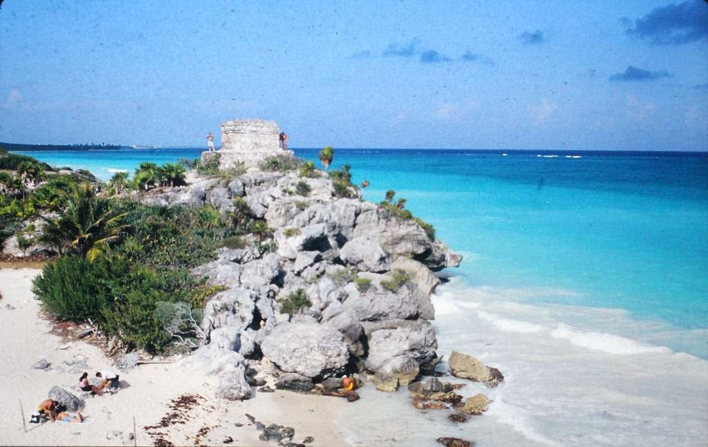
Look down from the cliffside viewpoint for a sandy cove interrupting the rocky shoreline. INAH identifies it as a likely landing place for merchants and fishers. Imagine bringing a loaded canoe near the breaking water, then compare the sheltered indentation with the sheer rock on either side. That practical difference is easier to appreciate from above than from a photograph cropped tightly around the temples.
How can I see the layout without going down to the beach?
Use the marked viewpoint as your stop and look along the coast for El Castillo. It stands on the rocky height above the water. Now turn inland toward the central precinct and pick out a section of wall on the map. Between that gate and the cove you have traced the two ways people could have approached the settlement, all from the visitor paths.