 Streetmodo
Which Cenote Are You Looking at in Chichén Itzá?
Two blue circles on the Chichén Itzá map can lead you away from the pyramid in different directions. Both mark places where the limestone opens to underground water. The routes leading to them, and what archaeologists have learned from each, tell quite different stories about the city.
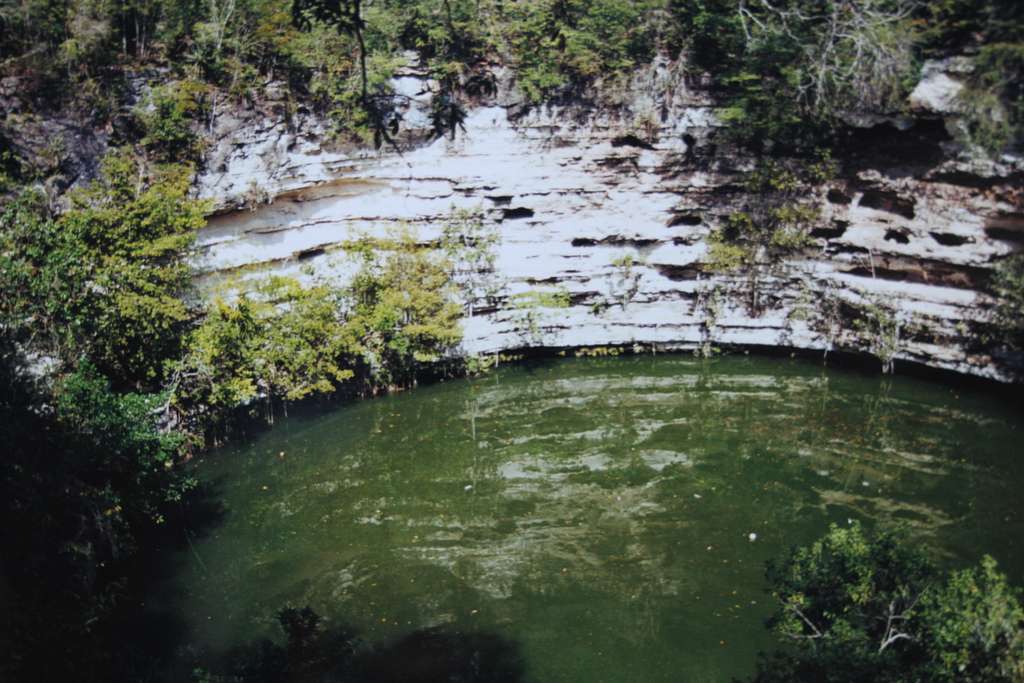
How do I find the Sacred Cenote from the main plaza?
Locate El Castillo on the visitor map, then look north for the road that extends beyond the plaza. This is a sacbé, a raised Maya road, leading to the Sacred Cenote. On some Spanish-language maps the water is labeled Cenote de los Sacrificios. Trace the line back to the plaza before starting out. It explains why the cenote was part of the ceremonial city even though it lies beyond the buildings.
What distinguishes the Sacred Cenote from Cenote Xtoloc?
The Sacred Cenote figures in the archaeological record as a place of offerings and sacrifice. Xtoloc gives a glimpse of a more familiar concern for a settlement on porous limestone, reaching a dependable source of water. From either viewing area you see the surface and surrounding rock. The different uses come into focus through the evidence from the site, so this is a good place to listen before taking the photograph.
Which ruins can I pair with a visit to Xtoloc?
Use the Osario as your landmark. Its plaza lies south of El Castillo and has its own raised road extending east toward Xtoloc. Pair the Osario and Xtoloc on the same leg of your walk. You can then return to the main plaza for the northern cenote without accidentally walking back along the road you just came down.